Bathymetric LiDAR Drone
.jpg)
Flying Platform


LiDAR
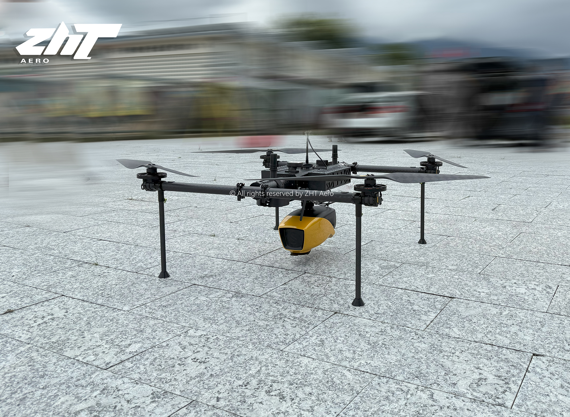
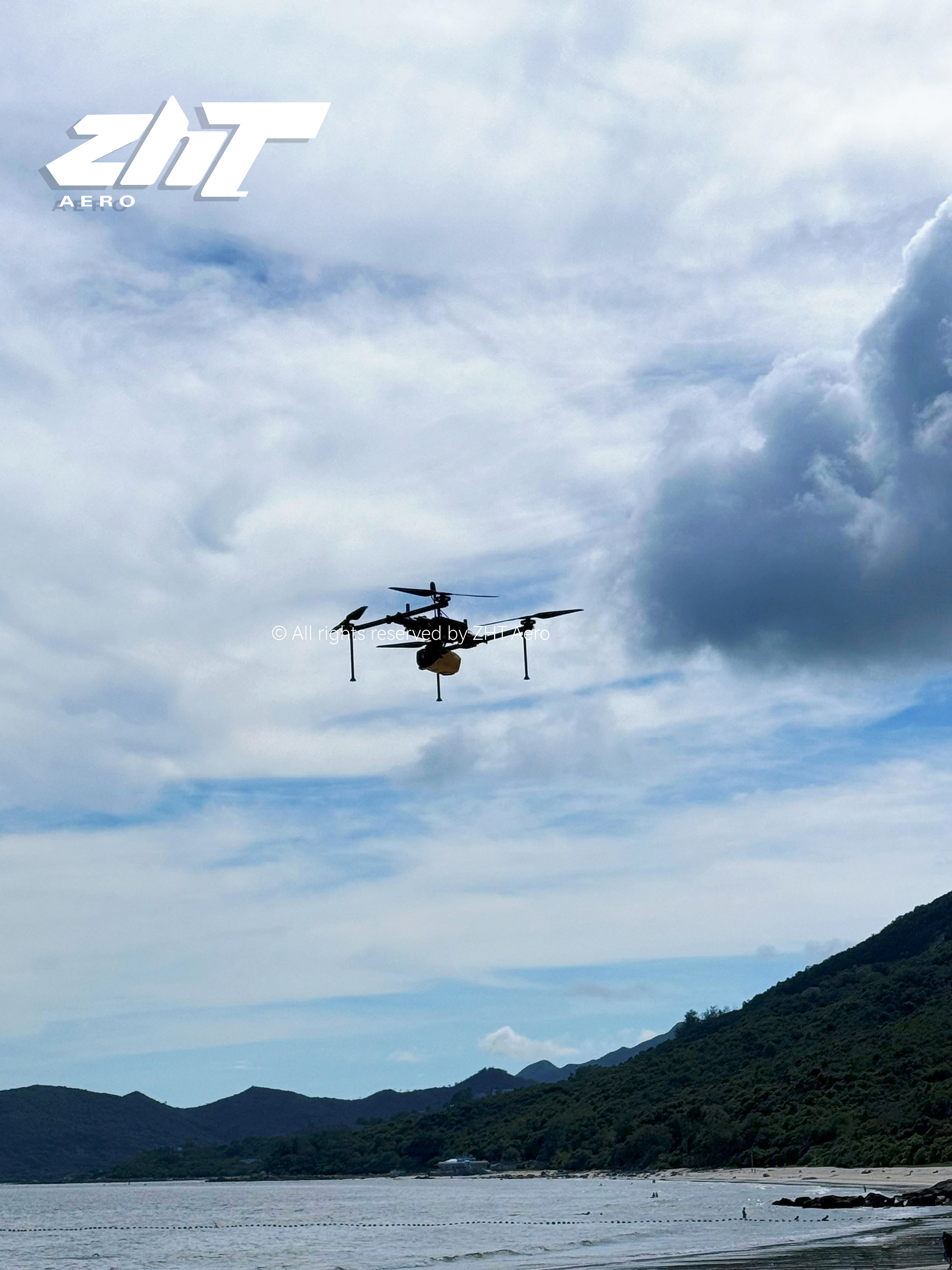
KEEL has a max. payload of 10kg and a max. flight time of 120 minutes. With a 5kg payload, it can fly for 60 minutes (classic version).
This model is equipped with an integrated land and underwater terrain scanning lidar, designed for drone-based aerial imaging,
covering various water bodies such as coastlines, rivers, lakes, estuaries, ponds, and gravel pits.
The lidar weighs 3.7kg (without battery), has a max. AGL of 100m, and a system accuracy of 3cm.
One-touch start allows the system to autonomously collect data, supporting satellite-based differential RTX, eliminating the need for a base station worldwide.
Multiple echo technology provides more detailed ground object detection.
One-touch track correction generates a visual 3D point cloud, independent of the laser sensor manufacturer's pre-processing software.
An integrated high-precision positioning and attitude determination system ensures high-precision results.
It is suitable for a variety of applications, from hydrographic surveying to underwater resource management.
Contact Us

Tel: +86-18526324382
E-mail: info@zhtaero.com
Add.:Tianjin University Innovation Research Institute,
Balital Industrial Park, Jinnan District, Tianjin, China
Balital Industrial Park, Jinnan District, Tianjin, China
Add.:Kerry Center, Qianhai, Shenzhen, Guangdong
Drone System
Service and Support
Copyright © 2026 ZHT Technology Co., Ltd.